
Storm Gains Strength as Caribbean Prepares
Tropical Storm Jerry is capturing the attention of islanders across the northern Caribbean, with weather alerts and nervous anticipation in the air. Live tracking shows the system now whipping up maximum sustained winds of 65 mph, and an investigatory Hurricane Hunter flight is on its way to collect the latest data. The scene across the Leeward Islands is marked by storm preparations, anxious glances toward thickening clouds, and a growing sense of urgency as communities await answers about the path and strength of the system.
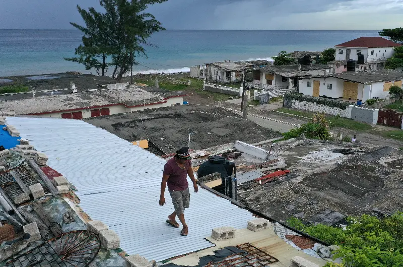
Forecasters describe Jerry as a “sheared tropical storm,” with its strongest winds and most intense rainfall pushed to one side of its circulation. Even so, the atmosphere in cities from St. Martin to Antigua is tense, as residents recall similar weather systems from previous years and rush to secure homes or stock up on supplies. Authorities have issued warnings for possible flash flooding in both urban centers and areas with steep terrain.
Key Facts and Latest Developments
As of Thursday morning (October 9), here’s what’s unfolding:
- Jerry’s current wind speeds are at 65 mph and could strengthen further, with the National Hurricane Center projecting possible hurricane status by October 10 or 11.
- The storm is tracking west-northwest but is forecasted to turn more northward through Friday, possibly passing just northeast of the northern Leeward Islands late today and tonight.
- The risk of direct hurricane-strength winds is low for the islands since the storm’s strongest winds remain east of the center, though heavy rain and flash flooding remain significant concerns through Friday.
- Jerry is expected to steer north into the open Atlantic by the weekend, with the current forecast calling for it to remain southeast of Bermuda, minimizing the threat of a direct strike on the mainland United States, though the final track could bring some impacts to Bermuda by late weekend.
- Florida and the broader U.S. coast are not in the predicted path, but meteorologists caution that “it’s too early for specific predictions” as atmospheric conditions remain dynamic.
Locals and tourists in the path of Jerry are keeping tabs on live updates, their nerves occasionally rattled by gusty winds or sudden rain showers. Video footage shared early Thursday showed restless seas and palm trees swaying in mounting breezes, while local officials in places like the Virgin Islands and Antigua sounded calm but clear alarms about potential flooding and advised continued storm preparations.
The Emotional Pulse and What Comes Next
As darkness falls, a sense of cautious hope is building in the Caribbean. While the storm’s wind field is lopsided—with the brunt of the force likely to remain offshore—the threat of unpredictable rain bands has parents, business owners, and emergency managers glued to their forecasts.
Crowds at airports and emergency shelters remain steady but calm, many drawing on lessons learned from past hurricane seasons. “We’ve seen many storms veer away at the last minute,” said one resident of St. Thomas, “but the memories of past floods make it hard to relax just yet.”
With Jerry predicted to strengthen but stay largely at sea, focus will remain on:
- Continued real-time tracking for sudden wind or rain shifts
- Flash flood risks through Friday in vulnerable islands
- Possible impacts to Bermuda this weekend
- Emotional reassurance as communities ride out another anxious chapter in a very active hurricane season
Islanders and forecasters alike are keeping a close eye on Jerry’s shifting forecasts, hoping that its bark will prove worse than its bite this time around.